LUC celebrates 20 years of using GIS
Our GIS & Visualisation team has been having fun developing and sharing some of our work through ESRI Story Maps. We’re continually seeking new ways to making our project outputs more interactive, engaging and accessible. We’ve also been refining and enhancing our ecology and open space data collection apps to support fieldwork. This summer you may catch some of us out and about trialling our new interactive trail maps and testing out Augmented Reality apps. What a fun way to explore the outdoors!
Principal GIS Consultant Edith Lendak made use of Story Maps to deliver her presentation on Growth Option Assessments at the ESRI Annual Conference – what a great way to celebrate 20 years of using GIS at LUC.
Diana Manson and Chris Green are delighted that their Light Pollution and Dark Skies mapping work for CPRE was commended in the Campaign of the Year category at the ENDS Environmental Impact Awards last month.
Speaking of awards, we’ve compiled this LUC Awards Story Map to remind us of some of LUC’s great achievements over the last couple of years. Scroll through and reminisce with us…
Recent news
 News, 17 November 2025
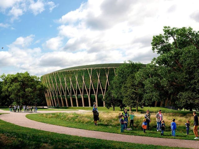
LUC wins Landscape Institute Award for AELTC Wimbledon Park
 News, 17 December 2025
Planning Resource Report 2025: LUC climbs to 7th place
 News, 10 November 2025
Broxtowe Borough Council refreshes its Blue and Green Infrastructure Strategy with LUC