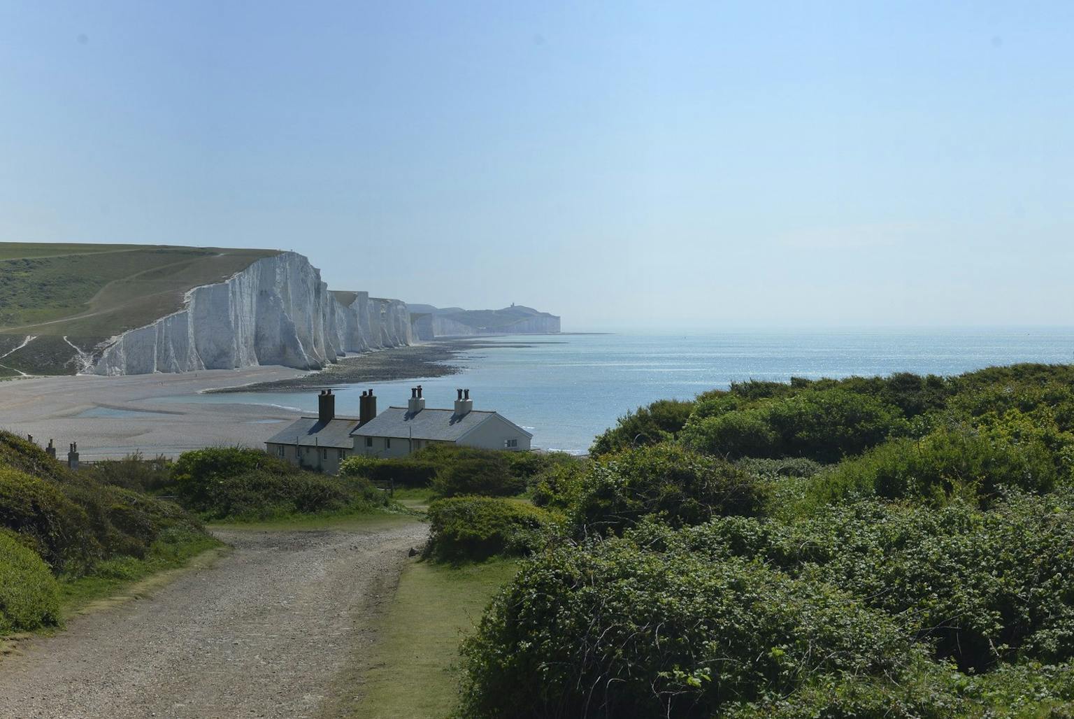
LUC producing digital format for South Downs Integrated Landscape Character Assessment
LUC is updating the South Downs Integrated Landscape Character Assessment (LCA) and developing a digital output accessible to users of all skill levels.
We have long championed the use of GIS to ensure data are widely accessible. We use ESRI StoryMap formats to produce visual summaries of our ‘State of the AONB’ reports.
Our update of the South Downs Integrated LCA will ensure the wealth of information gathered is accessible to as wide an audience as possible and presented in an attractive and easy to use format.
Recent news
 News, 17 November 2025
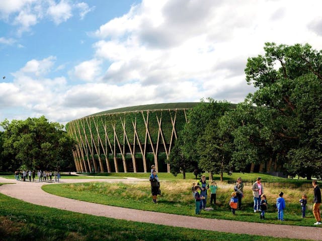
LUC wins Landscape Institute Award for AELTC Wimbledon Park
 News, 10 December 2025
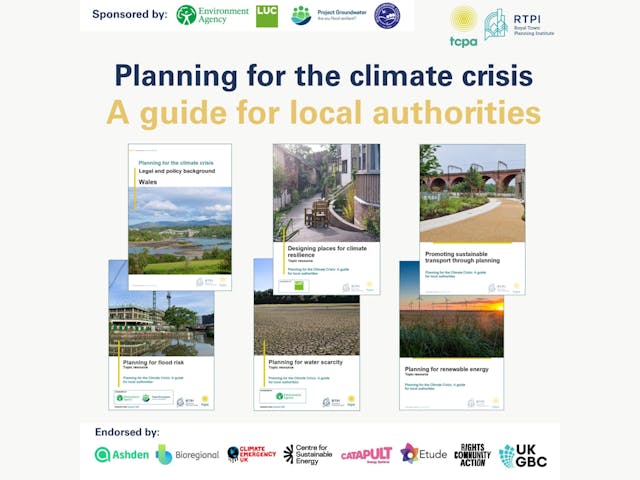
LUC sponsors national climate planning guide for local authorities
A great morning discussing nature recovery and strategic planning! 🌿 We were pleased to partner with Planning Futures to host “Nature Recovery in the New Era of Strategic Planning” at Central Hall Westminster this week.
LinkedIn, 20 November 2025