


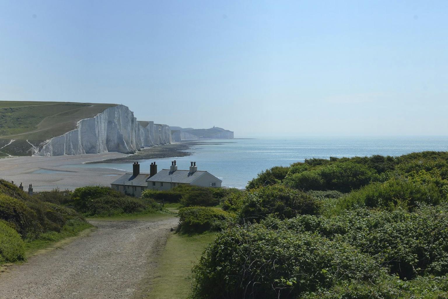
LUC producing digital format for South Downs Integrated Landscape Character Assessment
LUC is updating the South Downs Integrated Landscape Character Assessment (LCA) and developing a digital output accessible to users of all skill levels.
We have long championed the use of GIS to ensure data are widely accessible. We use ESRI StoryMap formats to produce visual summaries of our ‘State of the AONB’ reports.
Our update of the South Downs Integrated LCA will ensure the wealth of information gathered is accessible to as wide an audience as possible and presented in an attractive and easy to use format.
Recent news
 News, 29 April 2024
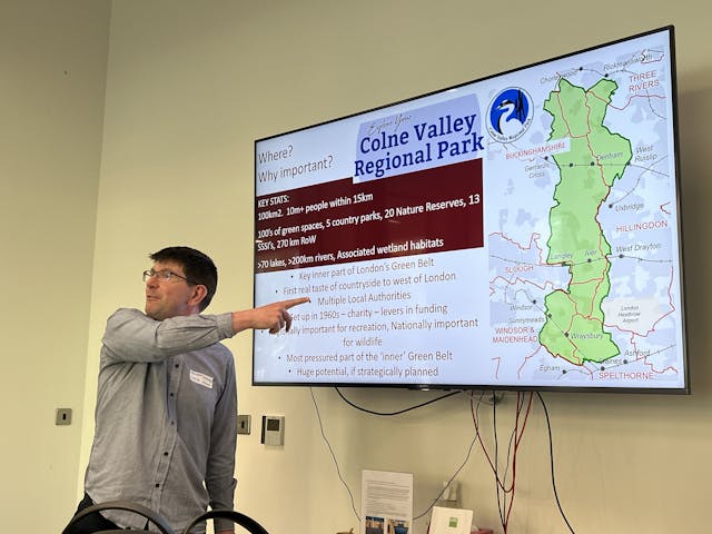
LUC hosts Colne Valley Regional Park inner Green Belt workshop on policy changes and solutions
 News, 17 April 2024
LUC secures planning consent for new Learning Centre at Kew Gardens
 News, 11 April 2024
Bowling Community Parkland project completes consultation phase