LUC celebrates GIS anniversary with ESRI
LUC began using ESRI ArcGIS software 20 years ago, in March 1996. We had a single user on ArcView 3.0. After many years of change, software upgrades and the expansion of our GIS & Visualisation team to 11 members, it was a fitting way to celebrate the journey by presenting at this year’s ESRI Annual Conference 2017, which was held in London on May 16.
Edith Lendak, one of our Principal GIS Consultants, presented our Growth Options Assessment project, in the Smart Analytics track. The project involved complex spatial analysis, using a large number of datasets, to find the most suitable land for new housing development within the project area. It was an excellent opportunity for Edith to put her ESRI ModelBuilder skills into action and automate the assessment, which ensured it was fast and precise. Considering housing is such a hot topic, including the release of the Government’s Housing white paper, it was a very current topic to cover, drawing a large audience at the conference. Edith used Story Maps for her presentation. We are increasingly making use of these to bring our projects to life.
Our GIS & Visualisation team thoroughly enjoyed attending the conference as it was a chance to meet experts in the field and watch presentations on fascinating ways GIS is used to enable a smarter world. Edith’s favourite presentations included using drone and satellite imagery to map individual potato plants to aid planting and yield management and an impassioned presentation on why London should become a National Park City.
Five members of our GIS & Visualisation team attended the Conference, getting a good feel for the current GIS trends. Some have also been inspired to sign up as a GeoMentor – an initiative between ESRI and the Royal Geographical Society, to provide volunteer support to geography teacher in using GIS as part of their curriculum.
Articles about some of the presentations, including ours, are available online in the May 2017 issue of ESRI’s ThinkGIS magazine.
Recent news
 News, 17 November 2025
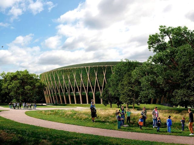
LUC wins Landscape Institute Award for AELTC Wimbledon Park
Living Wage Week is here! 🎊 We’re proud to celebrate being part of a movement of over 16,000 employers making a difference by paying the real Living Wage - because everyone deserves a decent standard of living.
LinkedIn, 13 November 2025


