


LUC holds 8th annual Mapathon
Last Thursday LUC hosted its 8th annual Mapathon, with over 60 staff and clients in attendance from across the UK.
What is a Mapathon?
Volunteers from around the world trace satellite imagery into OpenStreetMap (OSM) to map features like roads, buildings, and other features.
Then, community members on the ground assist in adding local data to the maps such as street names, neighbourhoods, and education centres.
Humanitarian organisers then use the mapped information to plan risk reduction and disaster response activities which save lives.
Supported by staff from Yellow Sub Creative, our efforts branched across several different humanitarian causes, including:
- Legacy mapping for the 2011 Tōhoku earthquake and tsunami
- Mapping neighbourhoods in northern Tanzania to combat gender-based violence
- Mapping neighbourhoods affected by the recent devastating earthquake in Turkey and Syria
- Mapping buildings and waterways for flood control and blue & green infrastructure development in Hanoi, Vietnam
The Humanitarian OpenStreetMap Team (HOT) runs these projects – among hundreds – using data from OSM and satellite imagery from Maxar.
Our Mapathons are based on initiatives by Missing Maps.
Learn more about our GIS & Visualisation services with our Virtual Consultation Room.
Recent news
 News, 17 December 2025
Planning Resource Report 2025: LUC climbs to 7th place
 News, 8 January 2026
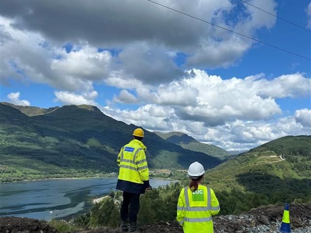
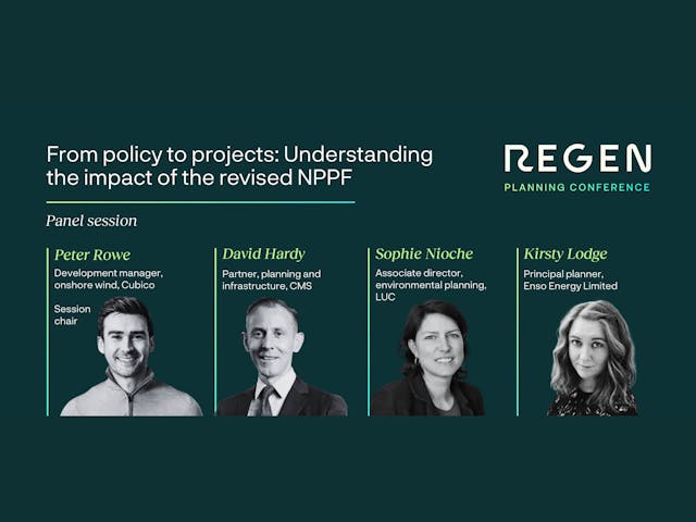
LUC Associate Director to examine impact of revised NPPF at Regen Planning Conference
The most in-demand skills in planning consultancy 2025
Planning ResourcePress, 10 December 2025