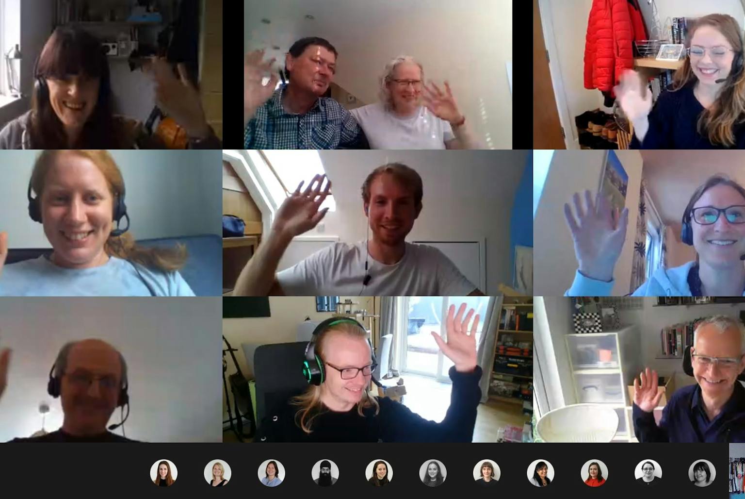
LUC helps map remote areas of Botswana for COVID-19 monitoring
Last week, LUC colleagues spent their evening volunteering to help digitise satellite imagery in remote parts of the world.
The ‘Missing Maps’ mapathon event gathered us together online to map areas of Botswana that do not currently have reliable digital maps.
Team LUC managed to map two whole districts in the country – both of which urgently needed buildings to be mapped. Our work will help to provide a basemap for COVID-19 monitoring tools used by the Government of Botswana.
Some managed to move on to mapping another project on the other side of the world in Cusco, Peru. Here, maps were urgently needed to provide cash transfers to families who, due to the COVID-19 pandemic, are prevented from working by the quarantine and State of Emergency in Peru. Our work will also help disaster responders to provide nutrition and sanitation assistance to the vulnerable people in the area.
Participating in my first missing maps #Mapathon, #volunteering with @LUCtweeting colleagues to record vulnerable places. We’re currently #mapping areas susceptible to, or identified as impacted, by the #COVID19 outbreak in #Botswana to help with their #pandemicresponse pic.twitter.com/dYgVoRBhzI— Rachel Nicholson (@RachNicholson9) June 18, 2020
Our GIS Intern, Molly Beetham, who organised the evening, said: “It was fantastic to see so many people eager to get involved with helping to map vulnerable places and it felt great to be able to help people in need during this COVID-19 pandemic. The online tutorials helped us to quickly learn how to do the mapping and everyone really enjoyed the evening! I would definitely encourage anyone who hasn’t done it before to give it a go, no matter what their mapping background is.”
LUC’s GIS & Visualisation team hopes to repeat the event in the near future.
Contact Diana Manson to talk to us about our GIS & Visualisation services.
Recent news
A great morning discussing nature recovery and strategic planning! 🌿 We were pleased to partner with Planning Futures to host “Nature Recovery in the New Era of Strategic Planning” at Central Hall Westminster this week.
LinkedIn, 20 November 2025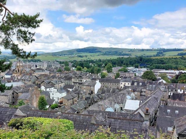 News, 6 November 2025
Have your say on Westmorland and Furness Design Code
 News, 30 October 2025
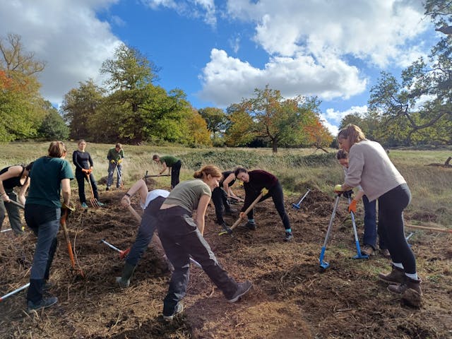
LUC volunteers support habitat restoration in Richmond Park