LUC rolls out new approaches to bird survey and assessment
LUC is excited to roll out a new digital process to support a full order book of ecology projects this survey season.
Our new platform lets us digitally record all ornithology survey data using GPS-enabled tablets.
The ecology team has previously used tablets to collect information on habitats and protected species like otters and badgers. However, we have since developed new systems to record bird activity in this way, including information on flight activity. This will improve accuracy and increase efficiency, allowing faster data analysis and clearer presentation of survey results.
The team is also trialling remote detection systems to collect information on birds that can be difficult to detect using traditional survey methods. These include acoustic detectors, which can be deployed for long periods in remote locations – useful for nocturnal species.
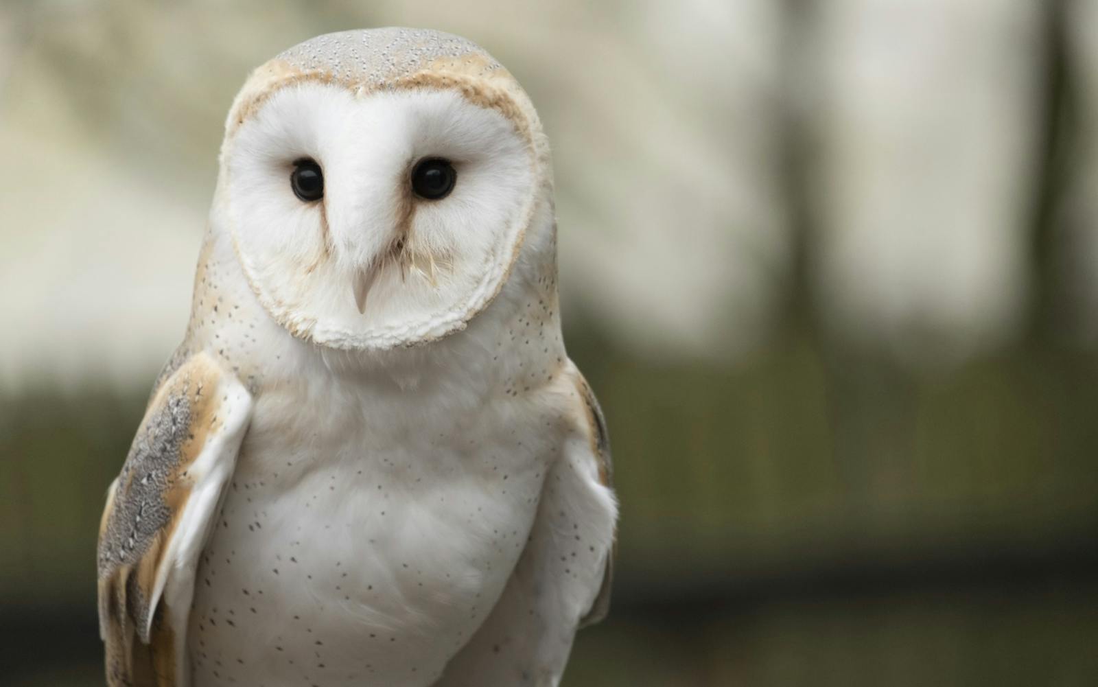
We continue to explore opportunities to use camera-based surveys to help collect bird data. Thermal and infrared cameras help to locate or verify cryptic or ‘shy’ species.
Our teams fully understand the urgency of the biodiversity and climate crises. In response, we will help developers to contribute meaningfully to conservation efforts, for example, via the new requirements of NPF4 in Scotland. We are happy to offer clients this ambitious and creative service to help smooth the consenting process while providing better outcomes for birds and other biodiversity.
Learn more about Ecology at LUC.
Recent news
 News, 28 November 2025
LUC commended at RTPI Awards for Planning Excellence 2025
 News, 11 December 2025
LUC attends Scottish Green Energy Awards 2025
A great morning discussing nature recovery and strategic planning! 🌿 We were pleased to partner with Planning Futures to host “Nature Recovery in the New Era of Strategic Planning” at Central Hall Westminster this week.
LinkedIn, 20 November 2025