Western Forest GIS and Green Finance Support
Mapping the future forest
LUC supported the Forest of Avon Trust’s successful bid to create the Western Forest – now the first of three new national forests in England.
Our GIS team produced a suite of over 75 detailed maps covering themes such as nature recovery, woodland sensitivity and land suitability.
This work helped demonstrate how the project will benefit people and nature and played a key role in securing government funding.
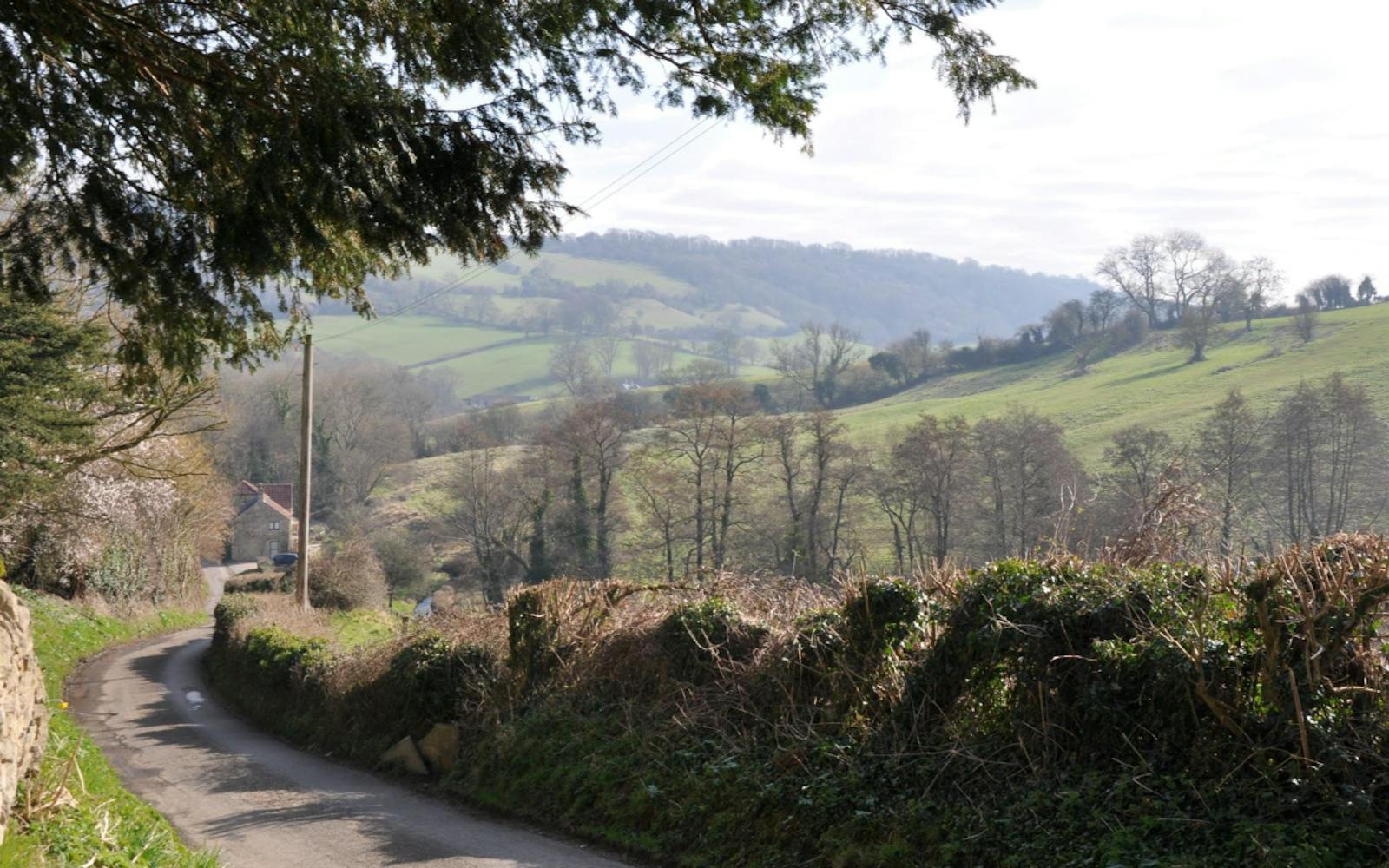
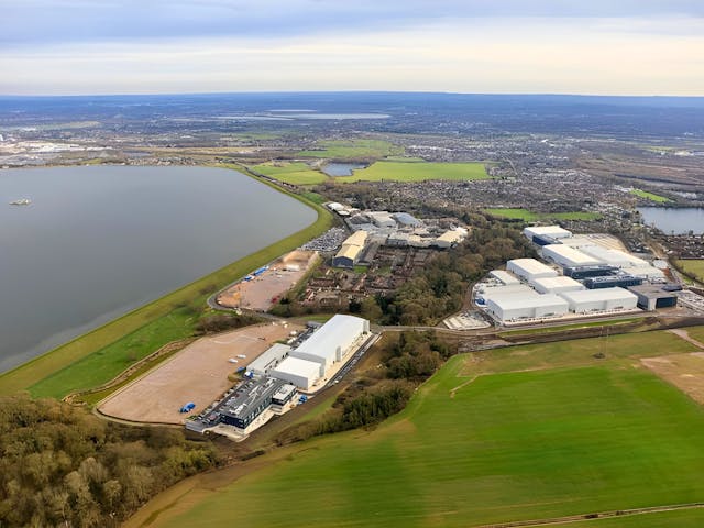
Mapping at a landscape scale
We provided spatial evidence to support 2,500 hectares of new woodland creation across Gloucestershire, Wiltshire and the West of England.
Our maps visualised opportunities to link habitats, restore ancient woodland, and deliver wider landscape benefits.
The mapping was rooted in a strong understanding of the area’s landscape character and planning context.
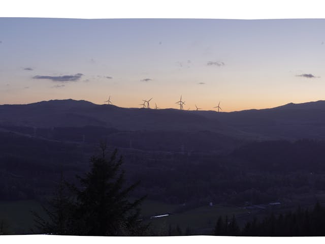
Right tree, right place
We drew on LUC’s pioneering work in tree and woodland landscape sensitivity mapping to build up the layers of evidence.
This approach ensured woodland creation plans respond to local character and are strategically located.
By combining sensitivity mapping with woodland opportunity analysis, we helped identify areas most suitable for new woodland planting.
Data to support funding and planning
Alongside the maps, we prepared tabular data to explore and evidence potential project benefits. This included information to support nature recovery, ecosystem services, and community access.
Our outputs helped align the project with environmental funding opportunities and informed the project's wider green finance strategy.
Supporting a landmark national initiative
Western Forest is a visionary project, backed by £7.5 million in government funding. LUC’s mapping work was central to the bid’s success and will continue to support delivery.
The project sets a precedent for future national forests, demonstrating how spatial evidence can guide large-scale nature recovery.