From pixels to place
As landscape professionals, we are constantly asking: how can we better understand, document, and communicate the complex character of place? Landscape Character Assessment (LCA) helps us do just that.
Our tools are evolving rapidly, with drone technology, remote sensing, and high-resolution video creating new ways of perceiving landscapes once impossible or prohibitively difficult to capture.
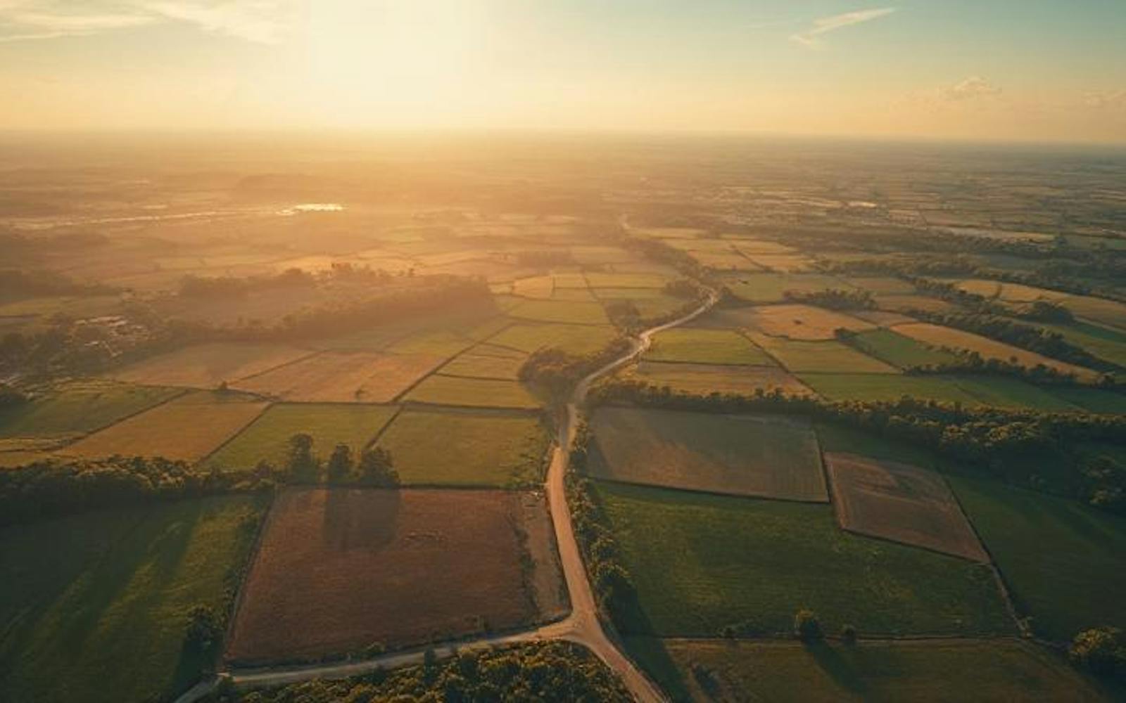
These tools do more than add data; they offer new ways of seeing and engaging with landscape, a cinematic experience that invites us to engage with perspectives that challenge and expand our traditional understanding. Overview drone shots are effective; they’re easy to digest and convey topography, spatial layout, and land use with striking clarity.
But we need to be mindful of what we gain from an aerial perspective, and what we might lose when moving away from the grounded, human experience.
New heights, new data
Drones provide spatial narratives, allowing us to see landscapes as dynamic entities that move, change, and evolve. They offer new vantage points, transcending scale and resolution. We can now capture detailed topographies, multispectral imagery, and temporal datasets that reveal nuances of vegetation health, moisture gradients, and subtle geomorphological changes invisible to the naked eye. Repeated flights show slow-moving shifts, such as encroaching scrub, seasonal wetting patterns, and evolving desire lines, allowing LCA not only to describe what a landscape is but to anticipate what it is becoming.
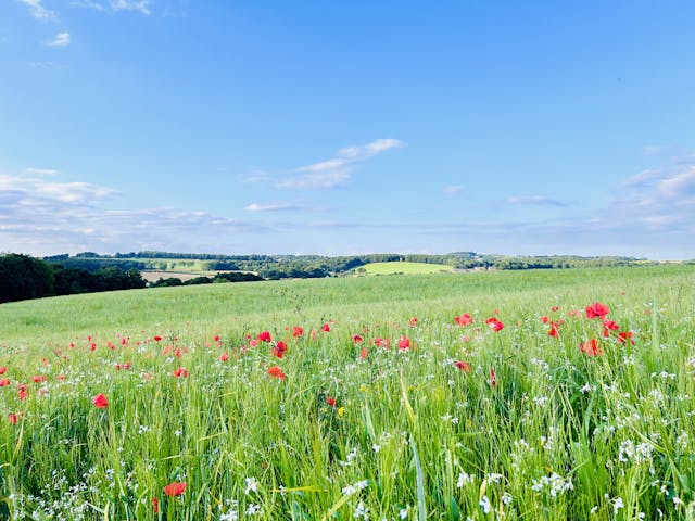
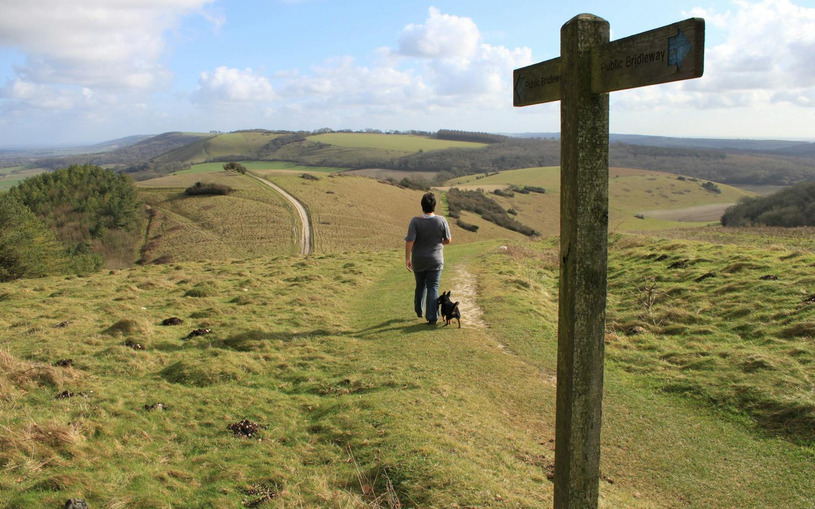
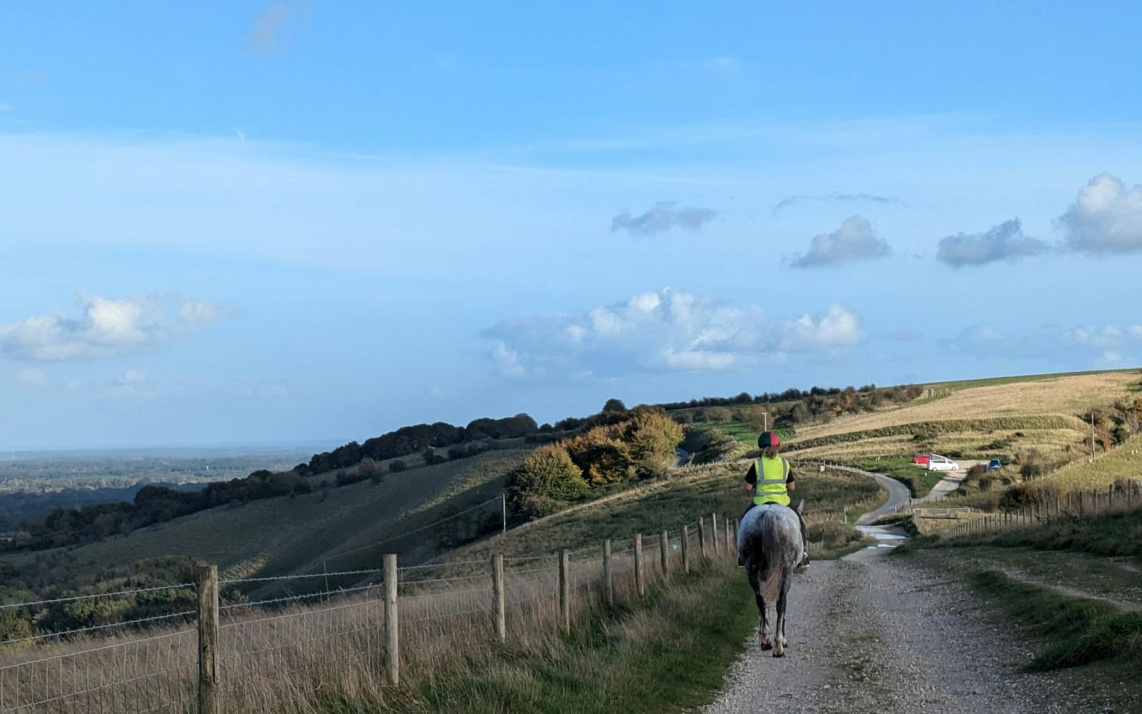
Yet this perspective differs from ground observation. Drones cannot fully capture the sense of arrival, the rhythm of a ridgeline, or the intimate enclosure of a glade. The dampness of a footpath, the scent of gorse, or the way sound carries across open moorland are central to landscape character and remain the realm of lived experience.
A bird’s-eye view
Aerial views are increasingly omnipresent, and tools like Google Earth have made us increasingly familiar with bird’s-eye perspectives. Many of the UK’s iconic features, such as the Uffington White Horse, or engineered sites like Spaghetti Junction, get their names and cultural significance from their form as seen from above.
While traditional LCA has relied heavily on ground-based observation, incorporating aerial views aligns with how some landscapes are most meaningfully perceived, revealing spatial patterns, morphological relationships, and land use arrangements imperceptible at eye level. Hadrian’s Wall, for example, is far more striking from above, where its length and integration with a broader network of Roman roads and camps become clear, revealing the continuity and connectivity of the landscapes it traverses.
The rise of video
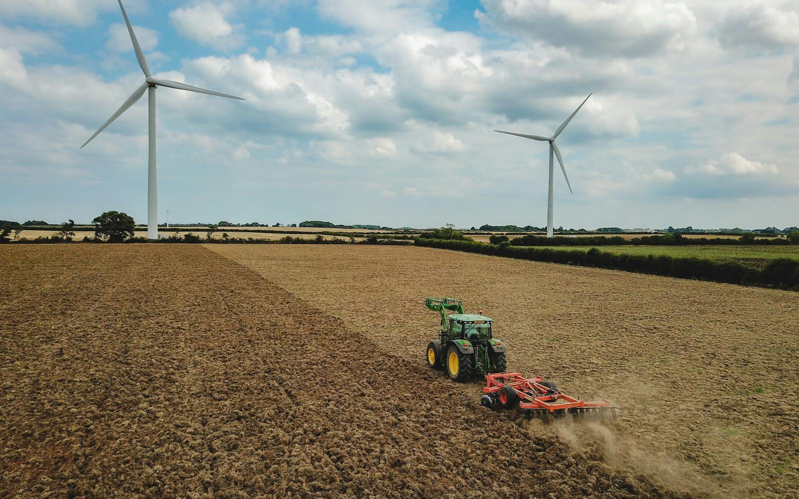
Drone video captures motion and scale, offering immersive perspectives that static images cannot. It enhances public engagement and interdisciplinary understanding, allowing features like wind turbines to be perceived as dynamic elements that interact with light, space, and movement, conveying scale and presence in ways single images cannot. It can empower the public to better understand the impact of development in a way that words and static images cannot.
However, video is curated. Angles, pacing, music, and narrative choices shape the story. There is a risk of romanticising or oversimplifying landscapes. The question is not whether these tools are useful; they are, but whether we mistake visual clarity for understanding.
The professional eye
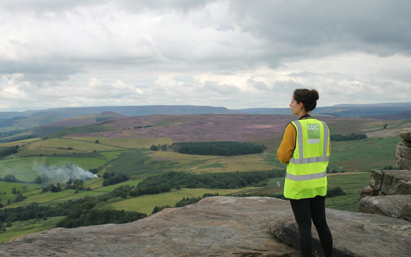
Technology can broaden our perspective, but it can also create distance. As drone-based surveys become routine, we must interrogate their role. When do they extend professional insight, and when do they begin to replace the irreplaceable value of human judgment?
Judgement must be inclusive. Drone imagery reflects a professional frame, but not always a personal one. The shortcut known only to a dog-walker, the rhythm of use observed by a groundskeeper, or the seasonal familiarity of a farmer are lenses too. Effective LCA recognises that landscape is not only seen from above but also remembered, inhabited, and shaped from within.
Landscape character is a palimpsest of memory, history, culture, and sensory experience. Although remote sensing can identify buried layers, including traces of historic land use, their complexity and depth resist complete capture by any sensor or lens.
Planning and decision-making
Drone footage and spatial data support real decisions. LCA underpins judgements about land use capacity, design integration, visual sensitivity, and long-term change. Aerial views strengthen our ability to communicate spatial structure, diagnose cumulative change, and visualise landscape effects.
Consider a wind turbine: from above, it is likely barely visible, a thin line in a textured landscape. From the ground, it is unavoidable, towering, moving, and often emotionally charged. Data alone cannot capture what it is to stand under a turbine, and planning decisions must be rooted in how places are lived and felt.
LCA’s purpose is not just to describe but to inform, shaping outcomes that respect, reflect, and sustain character. New technologies can elevate this purpose, but only when grounded in interpretation, context, and expertise.
Layered understanding
The future of LCA will be layered, blending aerial and ground perspectives, quantitative and qualitative data, in a way that is open, critical, and reflective. Embracing new tools requires deliberate use, blending technological precision with a deep commitment to place-based expertise and human connection.
The drone view is becoming standard practice, but our challenge is to keep asking:
- How does this tool help us see better?
- Whose perspective is captured, and whose is missing?
- What do we gain in clarity, and what might we lose in nuance?
Landscapes are living, evolving places, and our connection to them is sensory and embodied. They are experienced, remembered, and lived in. No matter how advanced our technologies become, the fundamental question remains, “What does it feel like to stand there?”