Using GIS to make more informed open space design choices
Earlier this year, Diana Manson and Alison King jointly presented a CPD session at the Landscape Institute Health, Wellbeing and Place event. The event focused on tackling health inequality with intelligent digital design.
GIS plays an increasingly vital role in strategic spatial planning. Through GIS we can better understand the environmental, economic and social context of our project work. It’s immensely helpful in analysing data and identifying spatial patterns across an area that might not be immediately obvious at site level. In the face of smaller budgets and multiple challenges, we need to be able to prioritise interventions and to understand what local issues need to be addressed.
LUC specialises in using GIS to identify the local need for open space and play provision. Alongside speaking to local stakeholders and running extensive community engagement programmes, we’re able to use GIS to build up a profile of an area and its residents.
This can include looking at population change, identifying where additional demand might come from. By looking at the age profile, we might start to see areas where there will be an increase in children and therefore more demand for play. Another data that layer that is hugely informative is the Index of Multiple Deprivation. Produced every few years, this layer takes seven indices covering income, employment, education, health, crime, housing and services and living environment and combines them to rank all small areas in England from 1 the most deprived to 32844, the least deprived. At face value, incredibly helpful. But if you look ‘under the hood’, you can also interrogate and map the individual indices and even their sub-indices.
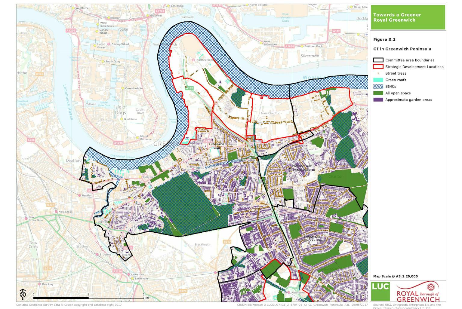
Looking at the existing assets, we can look at the accessibility of sites. This is particularly helpful when contextualised by other data, such as locations of private gardens. Put together, we start to get further insights into areas that don’t have access to gardens and also don’t have easy access to local open space. We can identify where there’s a prevalence of flats that may have higher densities, low access to private open space and low access to public open space.
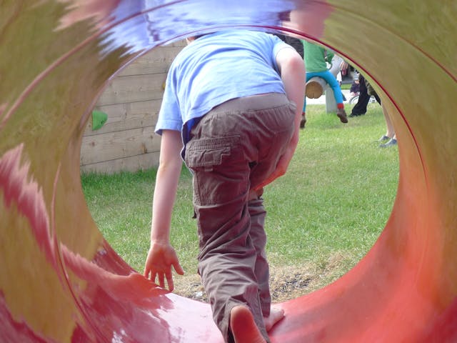
Looking at health issues, we can make use of national data collection programmes such as the National Child Measurement Programme. Here, we can map, at a local level where we have a relatively high prevalence of childhood obesity at different ages. In a recent open and play space assessment, there was a real desire to understand where there were compounded issues of poor child health, high density of children and also high levels of overall deprivation. In this case, we developed a Play Needs Index to consider these multiple factors spatially.
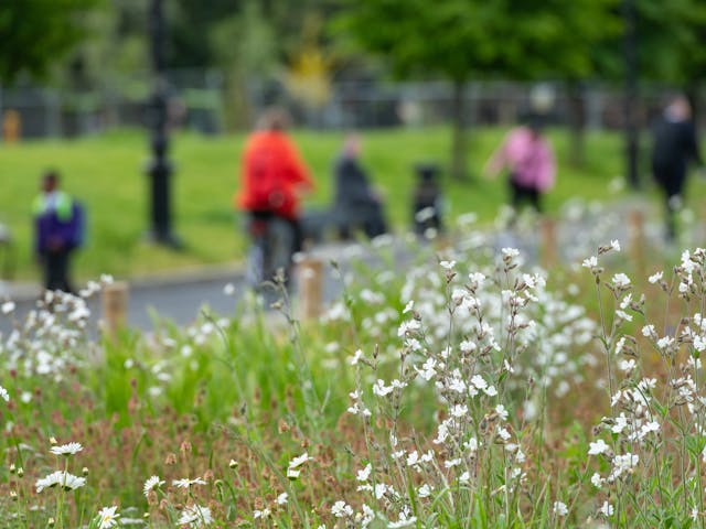
With a diverse and growing population, it’s more important than ever to ensure that people have a local network of parks and open spaces to provide an opportunity for improved health and quality of life.
Get in touch to discuss how we can use GIS to help your project.