How to protect locally valued landscapes
As the Coronavirus pandemic has emphasised, it is vital to recognise how special local landscapes can be to people.
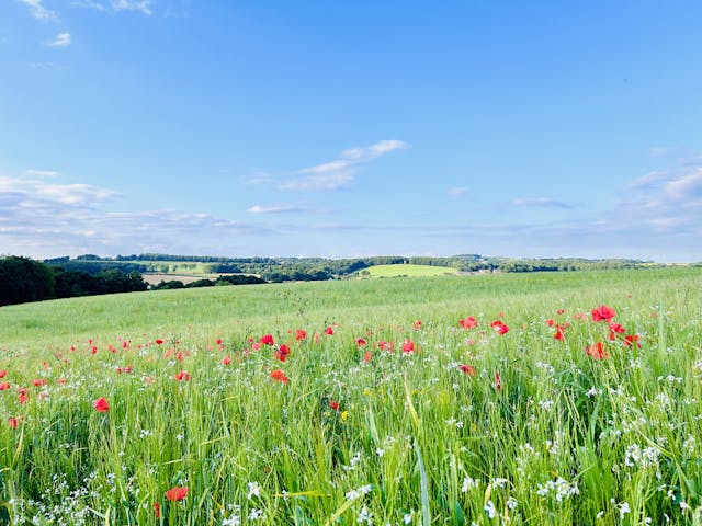
Local landscape designations are valuable tools for local authorities seeking to manage growth, protect valued landscapes and guide positive landscape change.
‘Green Gap’ designations
‘Green gap’ designations, variously known as ‘strategic gaps’, ‘rural buffers’ and ‘green wedges’ were first specifically referred to in planning guidance in 1997[1]. A government review in 2001[2] found that these non-statutory local designations often overlapped with Green Belt objectives and purposes to a greater or lesser extent, and a clear distinction was therefore needed between the two. The review also advised that such local designations had a high level of public support, and concluded that ‘green gaps’ could be a useful feature of local planning to:
- Avoid coalescence and retain the separate identity of settlements.
- Protect high quality landscapes on the urban fringe and provide access to the countryside.
National Green Belt policy has the stated intention of preventing the sprawl of large built-up areas, but the protection of local settlement pattern is not a statutory purpose of Green Belt. Furthermore, the general extent of Green Belts across the country is already established, and as new ones can only be established in exceptional circumstances, this is unlikely to change.
Protection of existing settlement pattern is not specifically mentioned in the National Planning Policy Framework (NPPF 2019), but the concept of settlement gaps is broadly consistent with the NPPF, in that: ‘strategic policies…should include those…necessary to provide…conservation and enhancement of the natural built and historic environment, including landscape and green infrastructure.’ (NPPF paragraph 20). Local Authorities may therefore want to consider specific designations to protect undeveloped landscapes between settlements.
A review by LUC of Local Plan policies and related Inspectors’ reports on ‘green gaps’ showed that these policies were generally found sound at Examination, but a number of lessons were apparent:
- ‘Green gaps’ must be based on robust evidence.
- Evidence supporting gap policy should take into account potential new boundary features that may alter the risk of settlement coalescence in future (e.g. major infrastructure[3]).
- Gaps designated to prevent settlement coalescence should only include land that plays a role in maintaining settlement separation rather than other purposes such as protecting the setting of historic environment assets[4].
- If a ‘green gap’ policy seeks to preclude certain types or scales of development, this must be based on evidence such as a landscape sensitivity study[5].
- ‘Green gap’ policies are legitimate as long as they do not seek to protect all rural areas outside settlement boundaries. Instead, they should be focussed on protecting specific areas or features between settlements[6].
Many Local Planning Authorities have retained strategic gap policies from previous Local Plans; however, these policies often have no evidence to justify the extent or purpose of the gaps identified.
There is currently no prescribed method for assessing ‘green gaps’ but LUC develops bespoke methodologies for individual authorities based on their requirements, our previous experience and our lessons learned from involvement in Local Plan examinations. Additionally, Landscape Character Assessment can play a critical role in terms of the evidence base behind green gap policies.
Local Landscape Designations
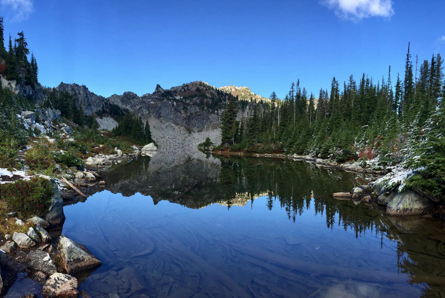
For areas of countryside which are valued for more than their contribution to settlement separation, the use of Local Landscape Designations (LLDs) may be appropriate.
Variously known as Local Landscape Areas (Scotland), Special Landscape Areas (Wales), Areas of Special or Great Landscape Value or Areas of High Landscape Value (England), this non-statutory local designation aims to protect areas considered by the local planning authority to be of particular landscape value to the local area.
Local landscape designation can help to protect a landscape from inappropriate development, but may also encourage positive landscape change, play an important role in developing an awareness of the landscape qualities that make a particular area distinctive and promote a community’s awareness and pride in their surroundings[7]. Locally designated landscapes are often highly valued and cherished by local communities and their review can be an emotive process requiring a robust criteria and evidence led approach.
There is no prescribed methodology for reviewing or updating LLDs in England and the NPPF is neutral on them. However, the Landscape Institute / IEMA Guidelines for Landscape and Visual Assessment (3 edition, 2013) includes a helpful summary of the range of factors that can help in the identification of valued landscapes set out in Box 5.1[8].
In Wales, LUC prepared guidance for Natural Resources Wales on identifying and reviewing Special Landscape Areas (SLAs) using LANDMAP[9]. SLAs may be designated for their intrinsic physical, environmental, visual, cultural and historical value in the contemporary landscape. Landscapes designated as SLAs may be unique, exceptional or distinctive to the local authority area. All landscapes are underpinned equally by LANDMAP[10] but additional guidance is produced for these key landscapes.
Scottish Natural Heritage (SNH) and Historic Scotland published guidance on LLDs in 2006, and is currently finalising a revised version.
LUC uses an approach to LLD review drawing on the above guidance as well as our experience of undertaking reviews across the UK, that has been accepted as robust through the Local Plan examination process. This includes the following key steps:
- review existing local landscape designation coverage and confirm the purpose of policy protecting these areas;
- identify broad areas that ‘stand out’ as potentially distinctive and of high landscape quality and value in the context of the local area, though a desktop sieving exercise and fieldwork observation;
- evaluation of ‘candidate’ LLD areas against value criteria;
- review the practicality of the candidate LLD areas in terms of size and coherence;
- prepare statements of significance for the new LLD areas.
LUC has extensive experience of reviewing LLDs and assessing the need for new landscape designations. We have advised local authorities across the UK to ensure that policies are based on a robust and defensible evidence base:
We would be delighted to help you develop new designations or review existing Green Gap and Local Landscape Designations, to make more of these important assets. Please contact Kate Ahern or Ann Conquest.
[1] PPG7 The Countryside (Revised)
[2] ODPM. Strategic gap and green wedge policies in structure plans: main report (2001)
[3] Examination of the Fareham Local Plan in relation to the Stubbington Bypass – The Planning Inspectorate, Report to Fareham Borough Council, 12th May 2015, File Ref: PINS/A1720/429/4
[4] Examination of Canterbury Local Plan. The Planning Inspectorate, Report to Canterbury City Council, 15 June 2017, File Ref: PINS/J2210/429/5
[5] Examination of North Warwickshire Local Plan. The Planning Inspectorate, Report to North Warwickshire Borough Council, 24th December 2015, File Ref: PINS/R3705/429/4
[6] High Court Judgement cited by the Inspector of Basingstoke and Deane Local Plan – High Court Judgment between South Northamptonshire Council (claimant) and Secretary of State for Communities and Local Government, Barwood Land and Estates Ltd (defendants) – in particular paragraph 47: Ref [2014] EWHC 573 (Admin); 10 March 2014
[7] Scottish Natural Heritage https://www.nature.scot/professional-advice/safeguarding-protected-areas-and-species/protected-areas/local-designations/local-landscape-areas
[8] GLVIA 3 Box 5.1 identifies the following factors that can help in the identification of valued landscapes: landscape quality (condition), scenic qualities, rarity, representativeness, conservation values, recreation value, perceptual aspects and associations.
[9] LANDMAP Guidance Note 1: LANDMAP and Special Landscape Areas (2017) https://naturalresources.wales/media/680613/landmap-guidance-note-1-landmap-slas-2017.pdf
[10] LANDMAP is an all-Wales landscape resource where landscape characteristics, qualities and influences on the landscape are recorded and evaluated in a nationally consistent data set.
[11] Natural England. Guidance for assessing landscape for designation as National Park or Area of Outstanding Natural Beauty in England (March 2011)