Dark Skies Map for Natural Resources Wales
About the project
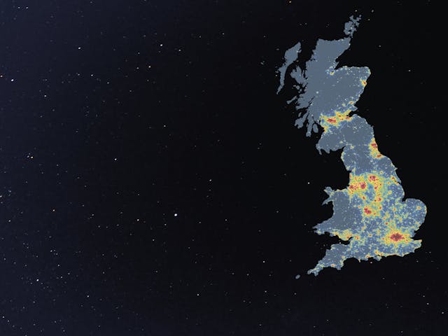
Light pollution can affect our perception or experience of nature, landscapes and greenspaces. Recognising the importance of night skies free of light pollution, Natural Resources Wales (NRW) commissioned LUC to develop a new Dark Skies map.
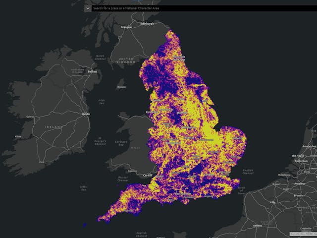
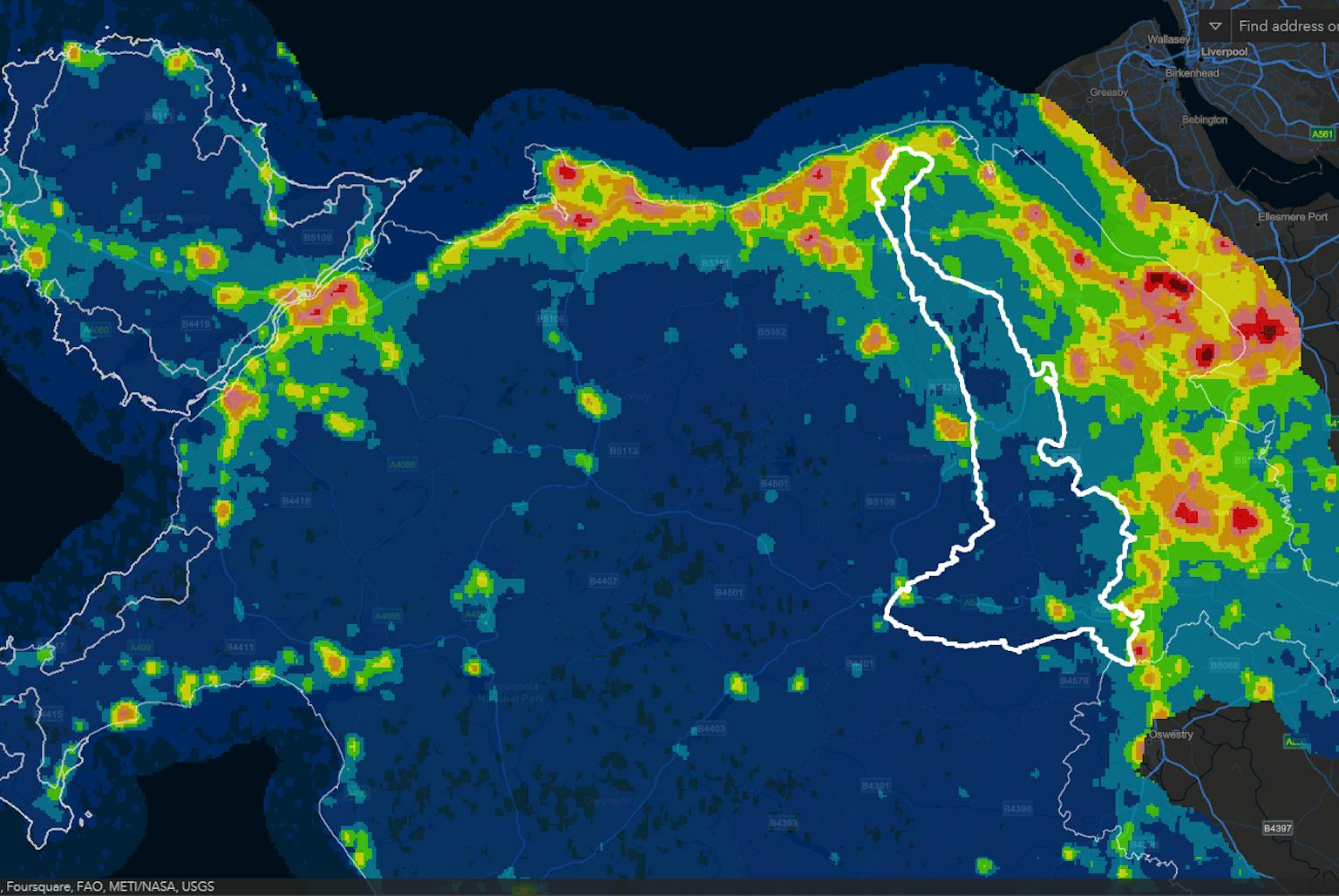
The project forms an evidence base to inform future planning policy and the provision of wellbeing benefits. LUC's in-house GIS team created a Wales-wide dataset of dark skies and light pollution and a set of maps displaying the dark skies data against various geography levels. We presented the findings in a poster, report and an interactive dashboard – allowing the information to be widely accessible and easy to share.
Key findings
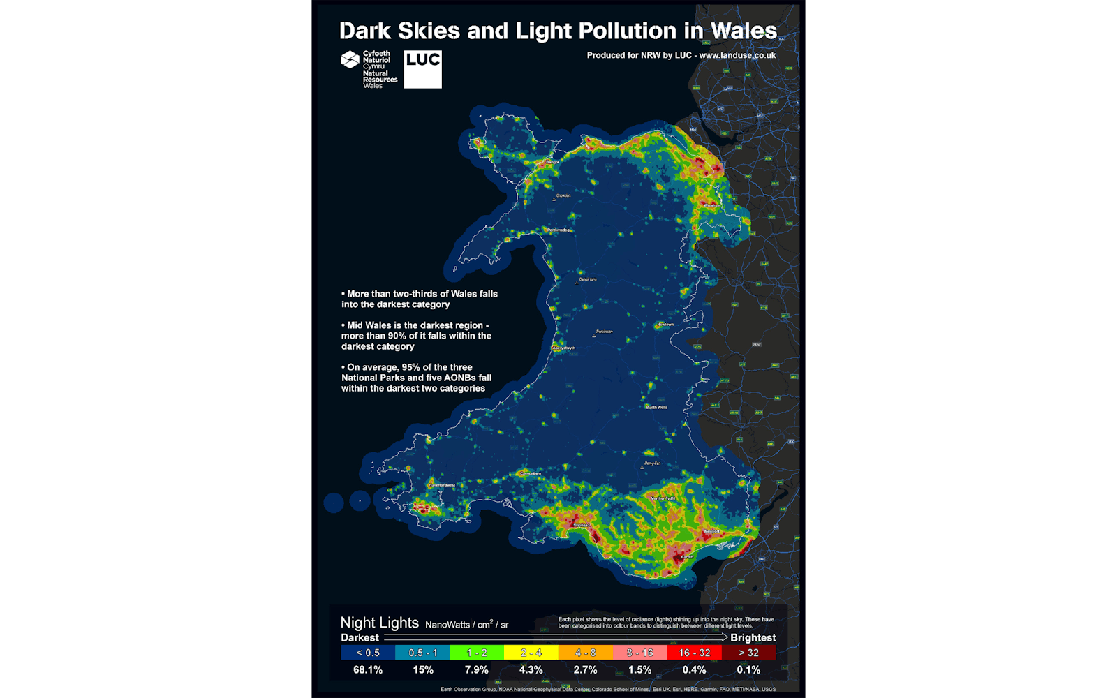
- More than two thirds of Wales falls into the darkest category defined within the data.
- Mid Wales is the darkest region, with more than 90% of it falling within the darkest category.
- On average, 95% of the three National Parks and five AONBs in Wales fall within the darkest two categories.
- The amount of light emitted in cities appears to be decreasing, but the areas around cities seem to be getting brighter.
There are very few areas of the world that are completely free of light pollution, so it is vitally important to protect and preserve those few areas that are. LUC is proud to apply its expertise in GIS & Visualisation to provide robust evidence to support future decisions in planning.