Durham Coastal Grasslands Reconnected
Measuring success on the Durham coast
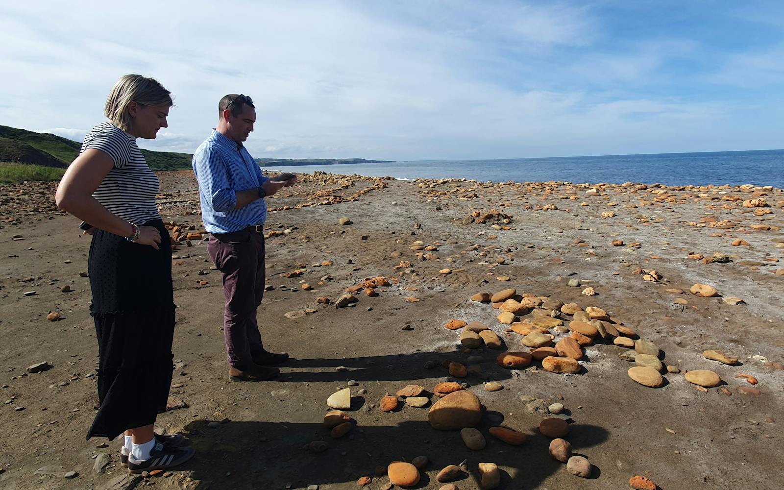
LUC was commissioned to evaluate the Coastal Grasslands Reconnected project, one of twenty projects funded by the national Species Survival Fund.
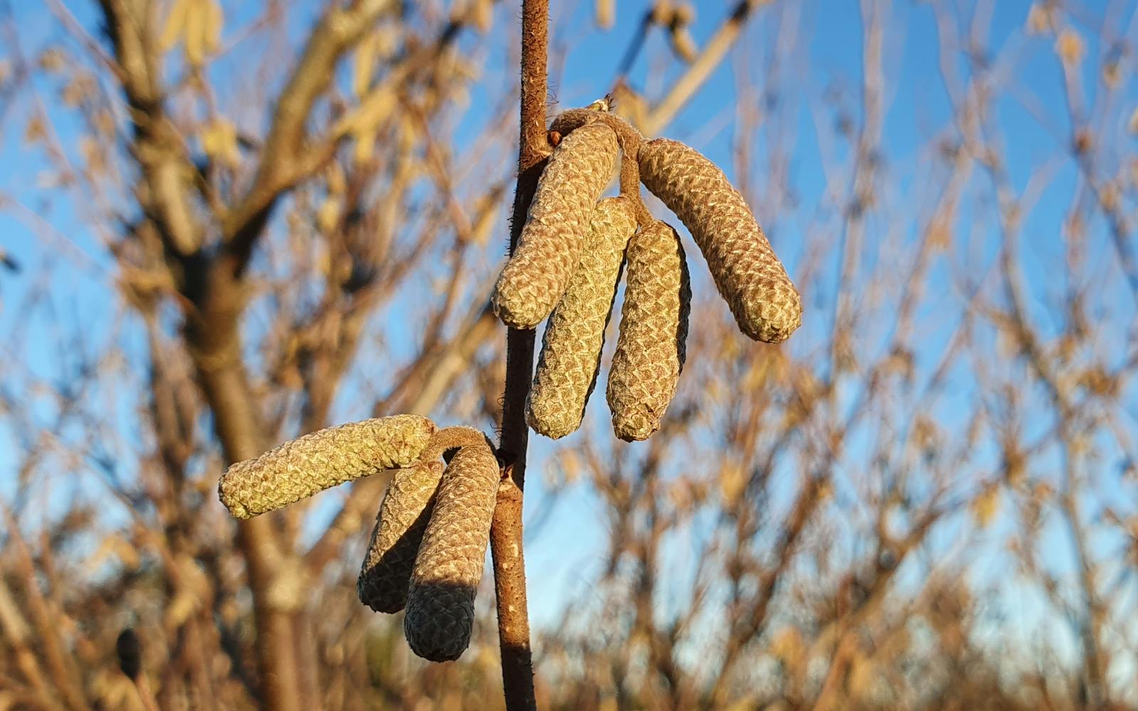
The project aims to create and restore wildflower-rich magnesian limestone grasslands and improve connectivity between woodland coastal denes with the creation of mosaic habitats through hedgerow planting, tree planting, scrub planting, green hay application, and pond creation.
Our role is to assess the environmental and social outcomes of this work, ensuring that the legacy of investment is clear, measurable, and enduring.
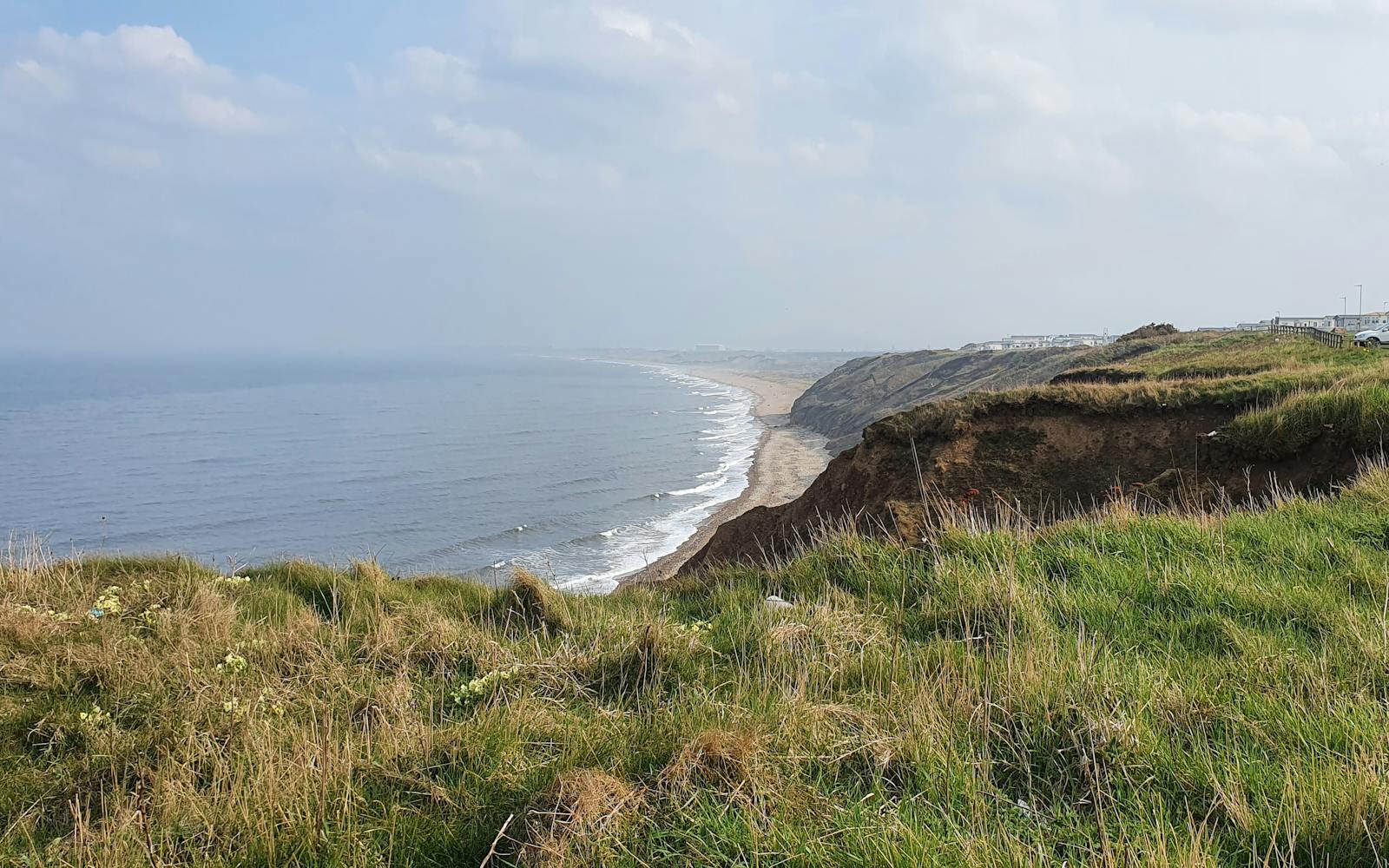
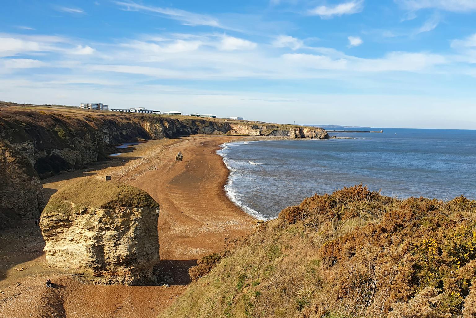
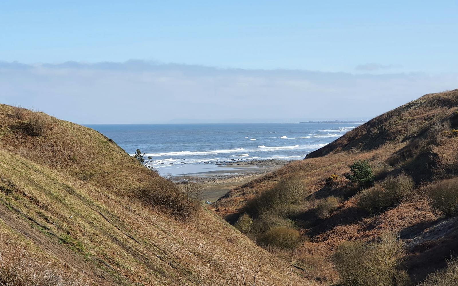
Restoring species-rich habitats
The project covers 213 hectares between Seaham and Blackhall Rocks. Habitat works include restoring wildflower meadows, planting hedgerows, creating nine ponds, and improving high tide roosts for waders.
Our evaluation will measure whether these actions deliver on targets for habitat creation, restoration, and species abundance.
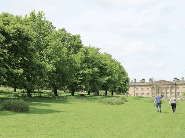
Connecting people with place
The project also delivers a strong programme of community engagement. Activities include sessions with schools and youth groups, monthly guided walks, and skills training in monitoring and conservation.
Our evaluation captures the benefits for local people, including health, wellbeing, and pride in the coastal landscape.
Robust evaluation framework
We are developing an evaluation framework and toolkit that combines qualitative, quantitative, and geospatial methods. This includes baseline surveys, participatory monitoring, and the analysis of spatial data to evidence change over time.
The framework is designed to meet National Lottery Heritage Fund and Defra requirements, while remaining practical and accessible for staff, volunteers, and partners.
Supporting long-term legacy
Our evaluation will highlight lessons learned and provide recommendations for future management.
This will help partners sustain outcomes beyond the funding period and shape future bids.
By demonstrating impact for species and people, the project will build a strong case for long-term conservation investment on the Durham coast.