London Green Belt Assessment
Assessing Green Belt land across the capital
LUC was commissioned by the Greater London Authority (GLA) and 12 London boroughs to assess all Green Belt land within Greater London.
The study assesses how all Green Belt land contributes to the five national Green Belt purposes, defines the extent of grey belt land across the city and highlights opportunities to enhance the designation.
This evidence will help inform future spatial strategies, local plans and decisions on development across the capital.
A toolkit for sustainable growth
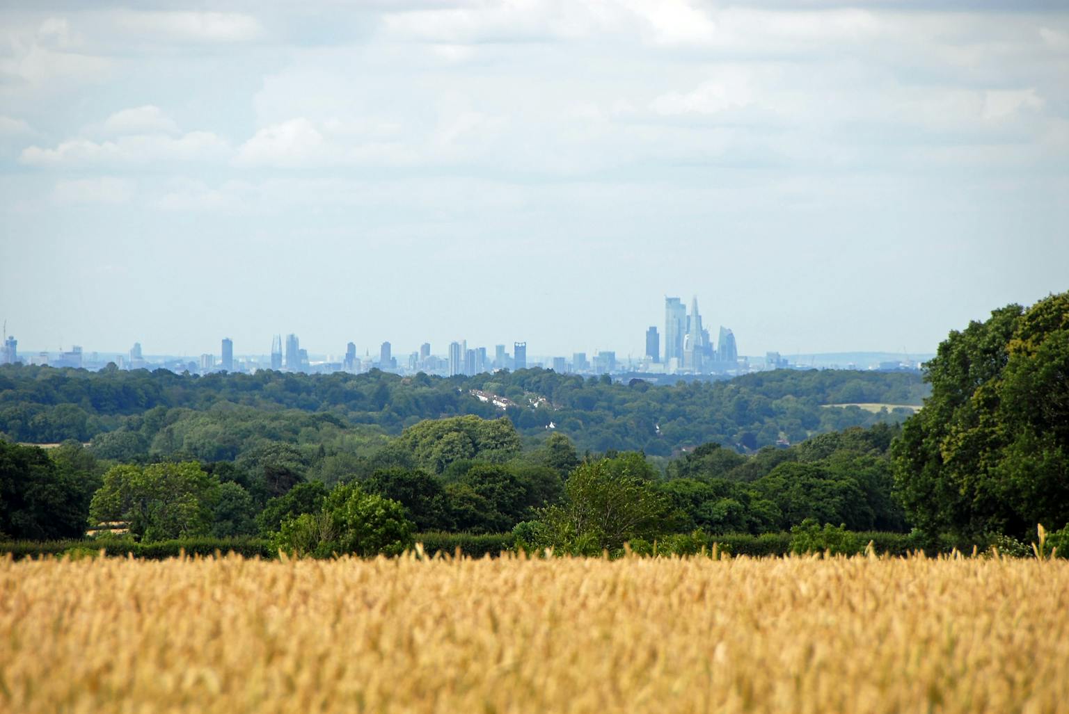
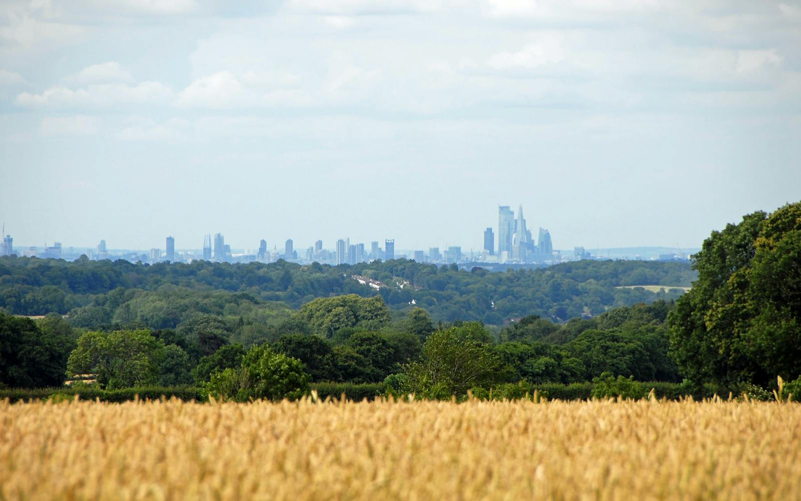
London faces high development pressure. Our assessment helps planners manage this demand without undermining the Green Belt. It shows where Green Belt land strongly contributes to policy goals and where it could be reviewed to support well-located growth.
This will help ensure London grows in a sustainable and equitable way.
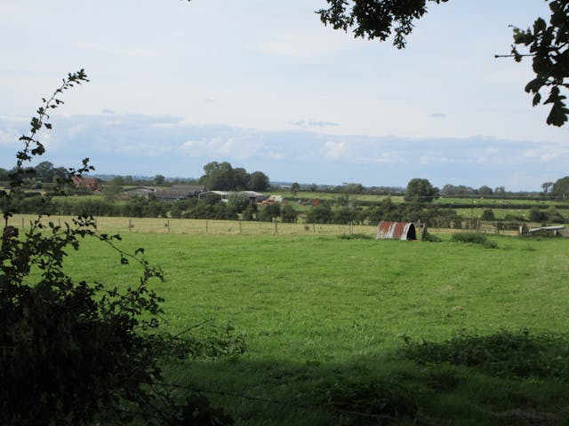
Supporting resilient places and green infrastructure
The study identifies opportunities to enhance Green Belt land, such as new green infrastructure, habitat restoration and better walking and cycling links.
We used outputs from the London Green Infrastructure Framework to recommend interventions that deliver multiple benefits for people and nature.
Robust methods for complex challenges
We developed a bespoke assessment approach in consultation with Douglas Edwards KC, the Ministry for Housing, Communities and Local Government, statutory consultees, the GLA and the London Boroughs and facilitated by We Made That.
Our team defined new parcel boundaries based on detailed spatial analysis and fieldwork in line with national planning guidance and case law.
Informing policy beyond London
This is the first city-wide Green Belt and grey belt assessment of its kind. It will inform the next London Plan and help boroughs with local plan-making.
Other planning authorities can also draw on our approach to shape their own evidence bases and land use decisions.