North Norfolk Landscape Recovery Monitoring and Evaluation Plan
Measuring progress for nature and people
LUC developed the Monitoring and Evaluation (M&E) Plan for the North Norfolk: Wilder, Wetter, Better for Nature project.
This Landscape Recovery scheme aims to restore chalk rivers, reconnect habitats, and bring landowners together to deliver positive outcomes for people, climate, and nature.
Our plan sets out how to track progress, measure success, and adapt actions over time to ensure the project delivers on its ambitions.
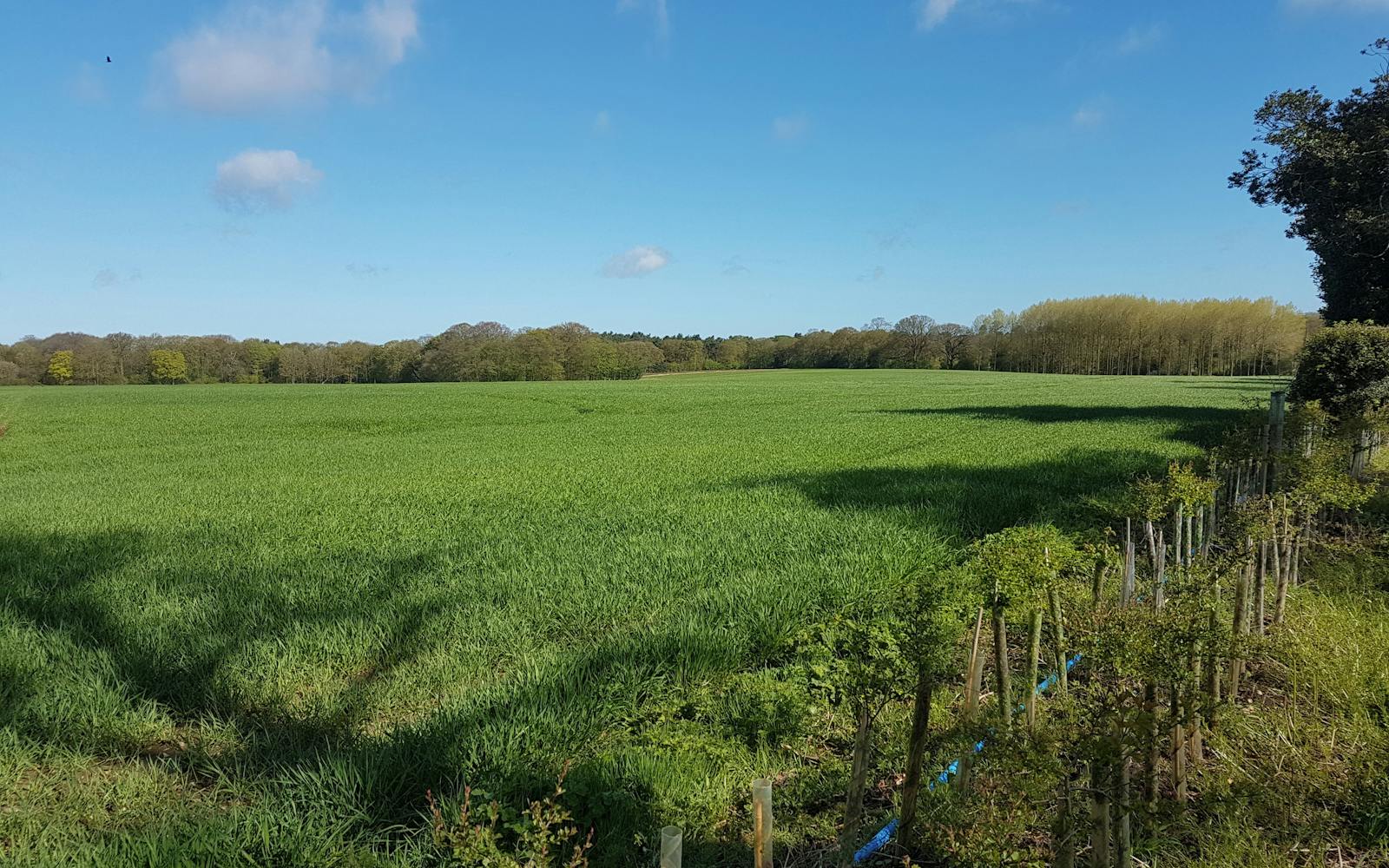
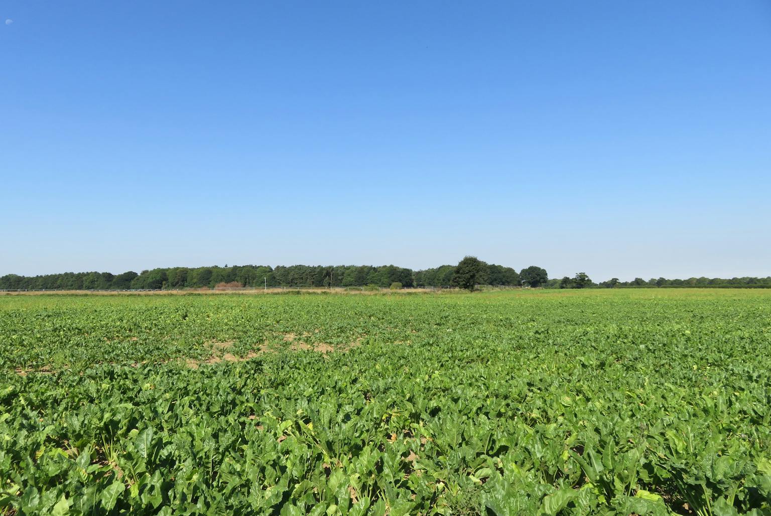
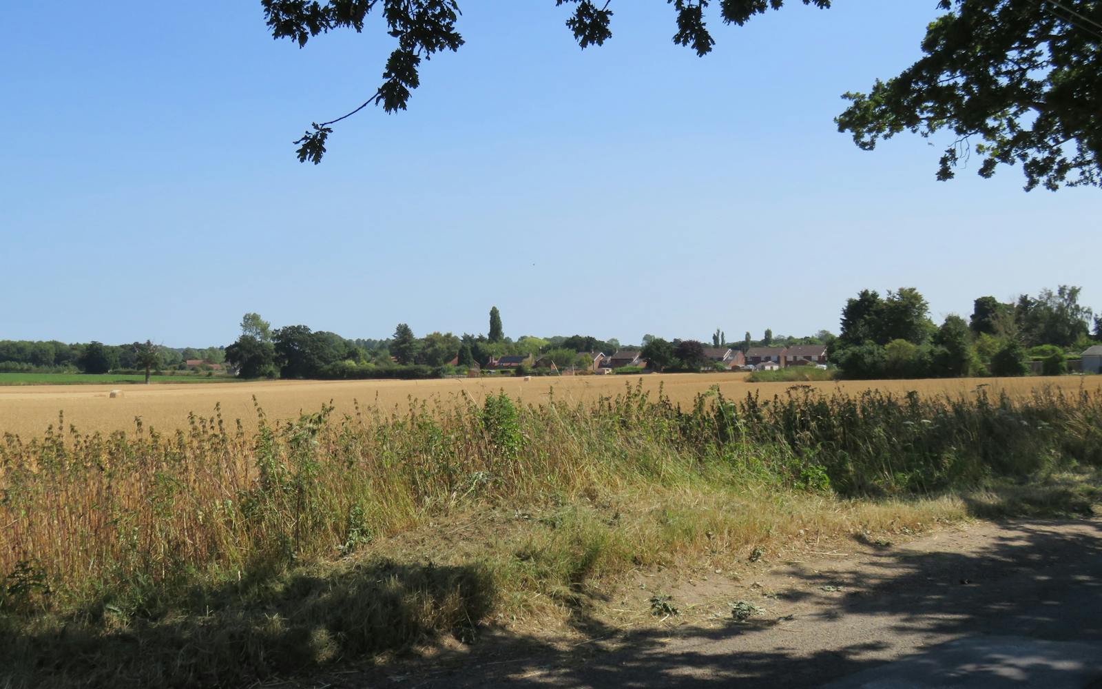
Supporting chalk river restoration and habitats
The project covers over 5,000 hectares, including the River Burn, River Stiffkey, and River Glaven.
Our plan defines clear indicators to measure improvements in river condition, water quality, flood management, and habitat connectivity.
These measures will show how chalk rivers and species-rich habitats are being restored and protected.
Building collaboration and resilience
We worked closely with the key partners in the project, which involves 67 land managers. The monitoring plan supports collaboration between landowners, farmers, and local communities. It also monitors social outcomes, such as access improvements, education, and engagement.
This ensures the project strengthens connections between people and their landscapes.
Robust methods and clear data standards
Our team prepared a revised theory of change, setting out how project activities will lead to long-term outcomes.
We created an evaluation framework with indicators, metrics, and data collection methods. We also developed a data management plan covering formats, metadata, quality assurance, and GDPR. This ensures data is reliable, consistent, and usable.
A model for future landscape recovery projects
The North Norfolk plan meets all Defra Landscape Recovery scheme requirements. It aligns monitoring cycles with the enhanced biodiversity duty, ensuring efficient reporting.
This work provides a model that other Landscape Recovery partnerships can follow to track environmental, social, and financial outcomes at scale.